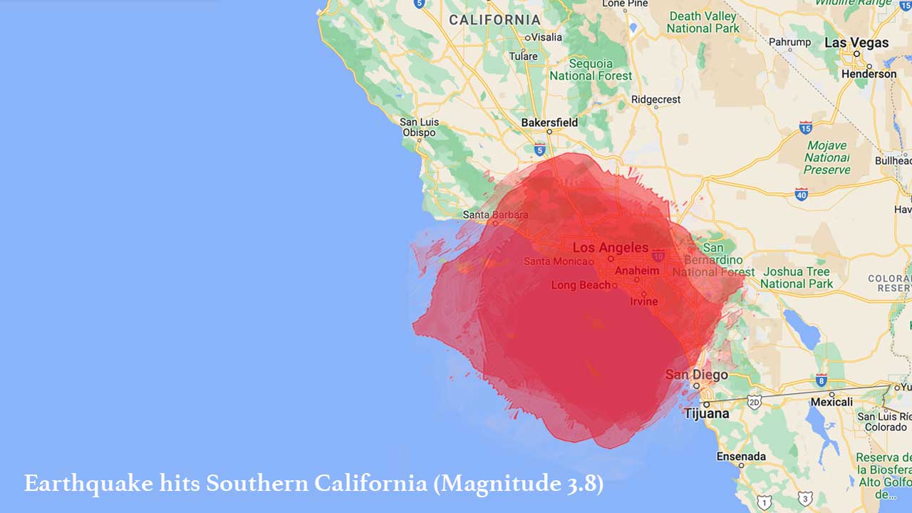
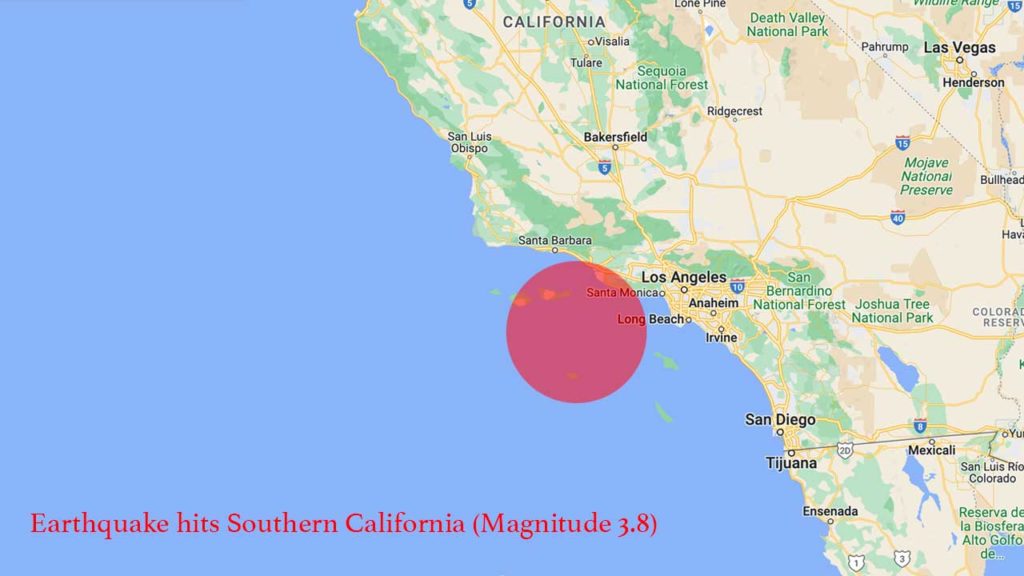
Residents in the Los Angeles area were abruptly awakened early Sunday morning by a 3.8-magnitude earthquake. The seismic event occurred at 2:29 a.m., with its epicenter located approximately 13 miles southwest of Malibu in the Pacific Ocean, at a depth of 18 miles. The U.S. Geological Survey initially reported a preliminary magnitude of 4.1, but it was swiftly downgraded. Shaking sensations were experienced in various areas of Los Angeles County, as well as in parts of Ventura and Santa Barbara counties, as indicated by a map provided by the USGS.
The US Geological Survey (USGS) stated that the recent earthquake was too small to trigger automatic cell phone alerts. However, they acknowledged that many residents felt the shaking and advised them to take protective measures like “Drop, Cover, and Hold On.” California experiences tens of thousands of earthquakes annually, but the majority of them are of minor intensity. Only a few hundred earthquakes exceed a magnitude of 3.0, and merely 15 to 20 reach a magnitude of 4.0 or higher, according to the USGS. In terms of earthquake frequency, California ranks second in the continental United States, with only Alaska experiencing more quakes each year.


